

Discover more from Weapons and Strategy
Houthis Using Commercial Satellites Combined with Radar to Target Ships in the Red Sea
New Efforts Needed to Stop Houthi-Iran Attacks
We now know more about how the Houthis and their Iranian partners target merchant ships and US warships. They use radar and satellite communications to target both commercial shipping and warships. The US should be thinking about jamming Iranian radars that are being used to help the Houthis. The US also needs to work with commercial satellite operators to shut down access to communications that guide Houthi missiles and drones. And the way the AIS system is operated is in need of change to confuse the Houthis and Iranians.
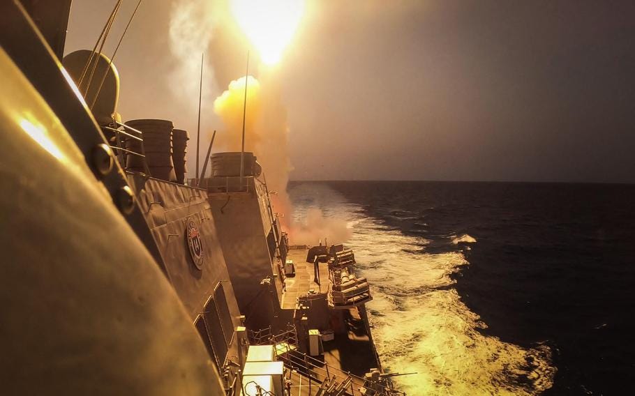
It is important to understand how the Houthis are going after merchant ships and US and UK warships.
In order to hit a ship with a drone or cruise missile, you need to know where the ship is at the time it is actually engaged.
The Houthis have a large arsenal of drones, cruise missiles and some ballistic missiles. Against moving targets, drones may have the high potential for accuracy.
There are nine types of Houthi drones: Hudhud-1, Raqib, Rased and Sammad-1 (Reconnaissance UAVs - although the Sammad-1 can be weaponized), and Qasef-1, Qasef-2K, Sammad-2 and Sammad-3 (Combat UAVs) and Wa-eed-2. It appears that the drones fired at commercial ships and US warships are either Qasef-1 or Qasef-2 or the Shaheed-136, called Wa-eed-2 by the Houthis. The Houthis may also have used their longer range drones but these have been aimed at Israel, particularly the port city of Eilat.
The Shaheed drone is the same kamikaze weapon Iran has supplied to Russia.
Neither the Qasef's or Shaheed's are FPV drones. FPV means first person view, and these are drones that send back live video to an operator/pilot who can then direct the drone to the moving target. FPV drones are being used heavily in Ukraine, even though they are subject to jamming.
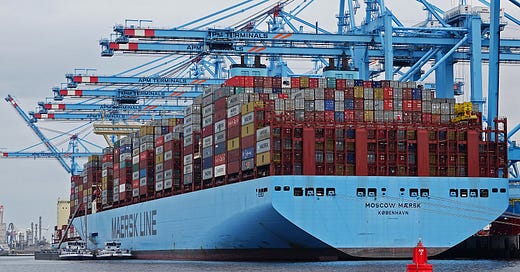
As I reported in December, it is almost certain that the Houthis and Iranians are using the global AIS (Automatic Identification System) to track ships in the Red Sea and Persian Gulf, and more recently into the Indian Ocean. Virtually every commercial vessel over 300 tons operates an AIS transponder. When ships are on the move, AIS broadcasts location and speed, as well as the name of the vessel, every 2 to 10 seconds. Yet, while it can transmit information while on the move, AIS is not as accurate as radar. According to a recent study, compared to radar the AIS transponder information was off by 97.72 meters (or around 320 feet). What this means is that using the AI track may not assure that a UAV or cruise missile hits its target.
What the AIS track can provide is a capability to interpret what the radar "sees." In crowded shipping lanes, picking out a target isn't easy. But with AIS the target can be identified, passed to a radar station, and then followed by the radar. By iterating AIS and radar, the Houthis or Iranians know where their target is in near real time. (My own belief is that these complex operations are handled by Iranians.)
The next trick is to communicate with the cruise missile or drone. How can this be done?
As targets move further away from the shore line, direct radio communications become difficult, sometimes impossible. FPV drones can be operated over a distance of 8 to 10 km from the operator (5 to 6 miles), but usually less. The Houthis have already attacked a merchant ship (MV Gibraltar Eagle) on January 14th, 177 km (110 miles) from where the drone was launched. How could the drone or cruise missile strike a target that far from Houthi territory?
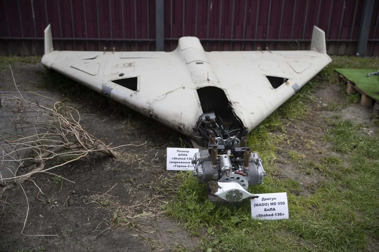
In early December, 2023 a crashed Shahed-136 drone was recovered by the Ukrainians. It yielded something surprising.
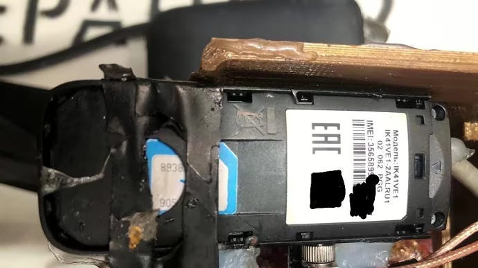
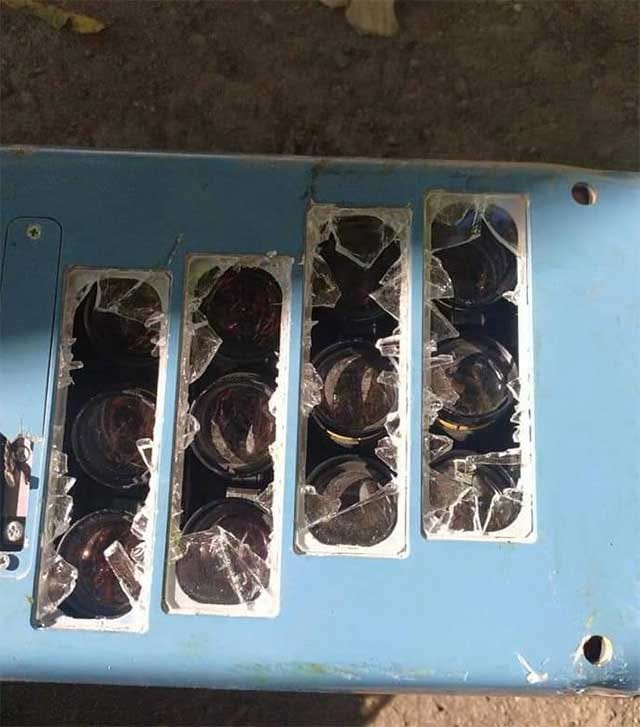
The Iranian Shahed-136 suicide drone is now manufactured in Russia where it is called Geran-2 (Geranium-2). It isn't clear if the crashed drone was produced in Iran or Russia. What marked this find as unique is the Shaheed drone was equipped with an Alcatel internet modem (model 1K41VE1) and a SIM card that belonged to a Ukrainian 4G cellular service called Kyivstar. There is a debate on how the Shahed worked with the Ukrainian cellular capability. Usually Shahed drones are preprogrammed and do not have cameras. But the recovered drone may have had a camera, which would give it the possibility of hitting moving targets, not just fixed locations. The cameras could transmit imagery back to operators across the internet allowing remote operation and accurate attacks.
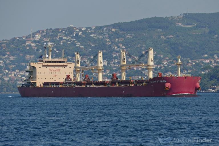
Something similar was found when parts of an Iranian drone that hit a commercial ship were recovered. The ship in question was a tanker named the Campo Square. It flew a Liberian flag but was owned by an Israeli company called ELESON. The tanker was hit by a Shahed 136 drone and damaged. On 10 February, 2023 at 2230 GMT the tanker was in the Arabian sea, 300 nautical miles off the coasts of India and Oman when the drone hit it.
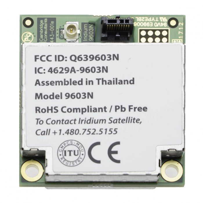
The part recovered was a SIM card for the global satellite communications company, Iridium.
Iridium Communications is a Maclean, Virginia based public company, originally founded by Motorola, that offers voice and data communications to its customers around the world. SIM cards for Iridium satellites are available from many outlets, including Amazon and Ebay. Modems to receive Iridium signals can be purchased directly from Iridium or from third party vendors. Iridium is especially popular for maritime use, where commercial cell phone connectivity is not available. Many military operations also use Iridium for connectivity.
Previously the Russians allegedly used Iridium communications for Kartograf UAVs manufactured by AFM-Servers for the Russian Federal Security Service (FSB) and used in the war with Ukraine. "The drone is designed for panoramic aerial photo and video recording with the ability to transmit the collected information to the control point in real-time. It can be used for reconnaissance to correct artillery fire or missile strikes," according to Bulgarian Military, an online news service not owned by the Bulgarian government.
If the Houthis incorporate Iridium SIM cards and modems in their Shahed-136 drones, and perhaps in other models, they would have a far better chance to accurately target commercial vessels.
So long as their coastal radars were operating, the Houthis could also target US military ships, provided they could find them. While US military ships have AIS systems, they don't use them in combat areas and none of them are now operating with AIS in the Red Sea. Therefore the Houthis would need help to find the ships with radar alone, but still could transfer updated coordinates continually to their drones or cruise missiles.
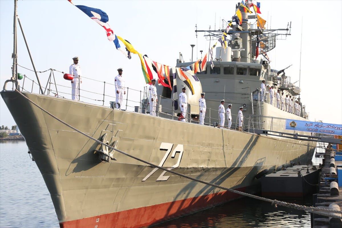
Without coastal radars functioning (reportedly the US and UK have knocked out three important Houthi coastal radars) the Houthis would need alternative ways to locate US warships. Either they could be getting live feeds from either the Iranian spyship operating near the Bab el-Mandeb Red Sea straits, the cargo ship Behshad, which has radar, or from the Iranian warship IRIS Alborz. an old British-made frigate that crossed through the Bab el-Mandeb strait on January 11, a day after the joint US-UK strike on the Houthis. That ship also has radar, and it is interesting that it showed up almost on cue after the US-UK attack. These two ships could replace the radars the Houthis have lost.
The Beshad replaced the MV Saviz which was damaged by a limpet mine, allegedly by Israel.
It is important to localize Houthi attacks as much as possible and to degrade their targeting capability. One way to do this, aside from destroying their coastal radars, would be to jam the radars of the Iranian frigate and spyship that may be feeding real time targets to the Houthis. Another way is to interdict satellite communications supporting Houthi and Iranian operations, working with Iridium to accomplish the task. Iridium can locate accounts operating on these territories fairly easily. Shutting them down will take away an asset as important as the radars the US has targeted with Tomahawk missiles. Additionally, for merchant ships, where the way ahead is clear and open, turning AIS off and on at intervals would go a long way to messing up Houthi targeting.







According to a recent LBC report (October 2023) and an old Haaretz report, Iran has a small base in Eritrea. Israel is also mad at Eritrea lately. If the Iranian base is still open, the only way to prevent the Houthis from tracking ships is to attack Eritrea. Should the USA attack Eritrea?
"Iran also maintains a military presence in the southern port of Eritrea" https://www.lbcgroup.tv/news/news-bulletin-reports/731047/unveiling-eritreas-role-a-geopolitical-chessboard/en
"Both Iran and Israel Have Military Bases in Eritrea"
https://www.haaretz.com/2012-12-12/ty-article/.premium/israel-iran-have-bases-in-eritrea/0000017f-efe8-d497-a1ff-efe863340000
Great article, as always Dr. Bryen (suck it auto-correct). Now that Persia is a former member of BRICS+, I could forsee the PLAN base in Djibouti playing an important role in supporting the Houthi activities (under the guise of "protecting the sea lanes."). The Russians are integrating AI into their drones in Ukraine. I wonder how long until they're made available to "friendly," countries?
Moves and counter-moves. The wise chess master sees ahead several moves. We all know how important chess is to the Persians and Russians; especially with American led NATO forces playing tiddlywinks.